
New Drone to Support and Expand Agricultural Research
Office of Communications and Marketing
Young Hall
820 Chestnut Street
Jefferson City, MO 65101
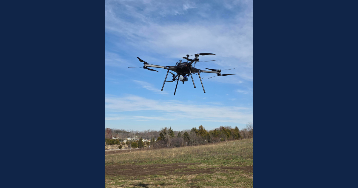 Lincoln University’s new HX8 drone takes flight during training sessions on Dec. 3 and 4.
Lincoln University of Missouri’s (LU) College of Agriculture, Environmental and Human Sciences acquired a new drone recently, opening the door to improved and expanded research methods.
The drone, a Harris Aerial HX8, is a heavy-lift, multirotor drone made by Harris Aerial. LU procured the device through a USDA-NIFA Evans-Allen research grant with the intent of enhancing the institution’s agricultural research and environmental monitoring capacities.
According to Xukai Zhang, assistant professor of geospatial science, the drone’s advanced sensing and imaging capabilities enable researchers to better identify crop diseases, evaluate pest management strategies in vegetable crops, improve water and nutrient use efficiency and assess forage quality and grazing potential.
Zhang added the drone also serves as a training platform for graduate and undergraduate students, giving them hands-on experience with unmanned aerial vehicle (UAV) operations, remote-sensing (from a distance) data collection and geospatial analytics.
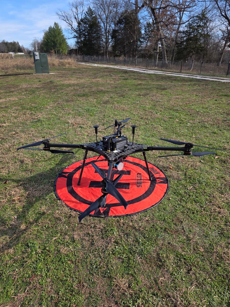 Lincoln University’s new Harris Aerial HX8 drone sits on a landing pad pre-takeoff during training sessions on Dec. 3 and 4.
In the past, researchers used UAVs in various areas, including agricultural monitoring, forest structure analysis and vegetation classification. Drones have also been utilized in studies focused on quinoa and pasture systems and applied more broadly to environmental and natural resource management.
“These prior projects established a strong foundation in remote-sensing operations, flight planning and data processing, positioning the university to adopt more advanced systems like the HX8 for multi-sensor data integration and AI-driven analysis,” Zhang said.
The HX8 drone has eight rotors, an advanced, real-time GPS navigation system and a modular payload design, which means accessories can be swapped in and out effortlessly. It also features a hyperspectral sensor integrated with a LiDAR module.
LiDAR, which stands for light detection and ranging, uses lasers to precisely measure distance. Hyperspectral imaging is a method used to collect and process information from across the electromagnetic spectrum, providing in-depth information on each pixel in an image.
“The most exciting aspect of the HX8 is its ability to collect hyperspectral and LiDAR data at the same time, offering new opportunities to study plant physiology with exceptional detail,” Zhang said. “This will enable AI-driven assessments of crop stress, forest health and ecosystem dynamics, strengthening Lincoln University’s applied geospatial science endeavors.”